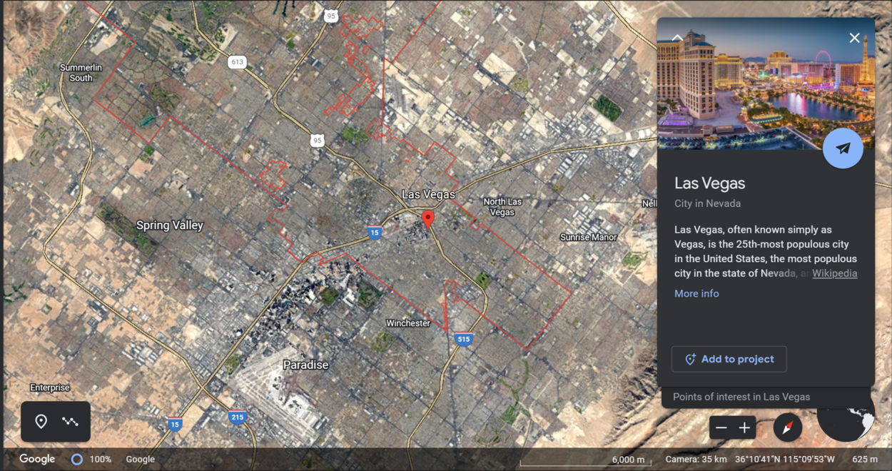
Google Earth is a popular geospatial technology that allows users to explore the Earth’s surface in three dimensions. Since its release in 2001, Google Earth has become a valuable tool for education, research, and exploration.
However, some people have questioned whether Google Earth is a copy of TerraVision, another geospatial technology that was released in 2003. While there’re similarities between the two platforms, they serve different purposes and have different target audiences.
Google Earth is designed for general users and provides a wide range of features, while TerraVision is a specialized technology that is primarily used by military and government agencies.
This article explores the similarities and differences between Google Earth and TerraVision, and how they have contributed to the evolution of geospatial technologies. So let’s learn more!
What is TerraVision?
TerraVision was a web-based application that offered a virtual view of the Earth’s surface through satellite imagery, aerial photography, and 3D mapping technology. Keyhole, Inc. launched it in 1999, and Google later acquired it in 2004.
TerraVision aimed to provide an interactive experience for users to explore the Earth’s surface by offering various features such as zooming, high-resolution images, data overlay, and landmark view. It also provided the ability to view historical imagery of specific locations.
TerraVision was used widely in government, military, telecommunications, and education sectors. Google Earth integrated TerraVision in 2004, providing users with a more advanced virtual experience of the Earth’s surface.
Although TerraVision is no longer available as a standalone application, Google Earth has inherited its legacy and remains a valuable resource for all users.
What are the Technologies used in TerraVision and Google Earth?
TerraVision uses various technologies, including computer vision, machine learning, and advanced algorithms, to extract satellite and aerial imagery information.
It’s designed to process large amounts of data quickly and efficiently, making it a valuable tool for military and intelligence applications. TerraVision’s algorithms can detect objects of interest, such as buildings, vehicles, and natural features, and can be customized to meet specific user requirements.
On the other hand, Google Earth uses a combination of software and hardware components to provide users with a 3D view of the Earth’s surface.
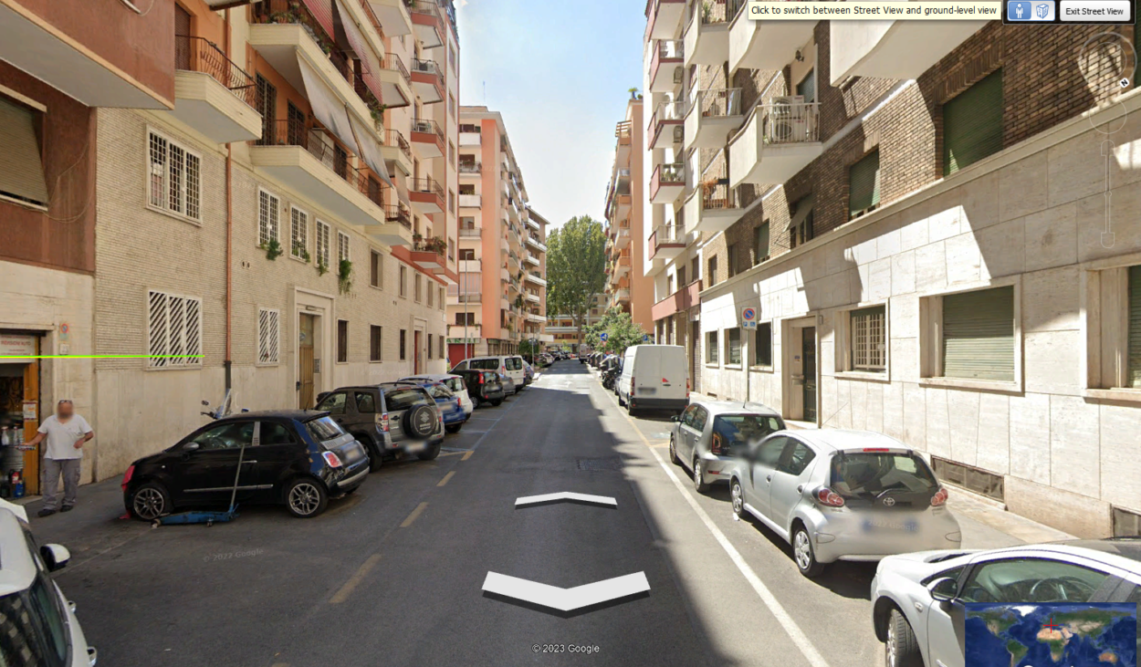
It relies on satellite and aerial imagery, processed using photogrammetry techniques to create 3D models of buildings and terrain. Google Earth also uses data from ground-level imagery, such as street views, to provide users with a more detailed view of different locations.

Google Earth’s software components include a web-based application, a desktop client, and a mobile app, allowing users to explore the world from different devices.
Google Earth also uses cloud computing technologies to process and store large amounts of data, making it possible to provide a seamless and responsive user experience.
How is Google Earth different from TerraVision?
Google Earth and TerraVision are web-based applications that provide a virtual view of the Earth’s surface through satellite imagery, aerial photography, and 3D mapping technology. However, there’re some notable differences between the two applications.
One of the primary differences between Google Earth and TerraVision is the level of detail in the imagery. Google Earth provides more detailed and up-to-date imagery than TerraVision, which was last updated in 2004. Google Earth also offers 3D models of buildings and landmarks, which TerraVision did not provide.
Another difference is the user interface. Google Earth has a more user-friendly and intuitive interface, making navigating and exploring different locations easier for users. It also offers a variety of tools and features, including the ability to measure distances, add placemarks, and create tours.
Google Earth also has a more comprehensive database of locations and points of interest than TerraVision, with millions of locations available for exploration.
Additionally, Google Earth has integrated various other Google services, such as Google Maps and Street View, making it a more powerful and versatile tool.
Moreover, if you’re interested in learning about Google Earth, check out the video below:
Which one is Better, Google Earth or TerraVision?
Both applications have their strengths and weaknesses, and the choice of which one to use depends on the user’s specific needs.
Google Earth offers more advanced features and a more user-friendly interface, making navigating and exploring different locations easier. It also has a more comprehensive database of locations and points of interest.
However, TerraVision was widely used in government, military, telecommunications, and education sectors before Google acquired it.
Ultimately, the decision between using Google Earth or TerraVision depends on the user’s specific needs and preferences. It may be useful to try both applications and see which suits the user’s needs better.
Is TerraVision Still Available?
TerraVision is no longer available as a separate application. Google acquired TerraVision in 2004 and integrated it into Google Earth, providing users with a more advanced virtual experience of the Earth’s surface.
Although TerraVision is no longer available, some of its features and technologies have been incorporated into other Google services, such as Google Maps and Google Street View.
For example, Google Maps provides satellite imagery and aerial photography, similar to TerraVision, and 3D mapping technology for certain locations.
Google Street View offers a ground-level view of many locations around the world, allowing users to explore different cities and landmarks virtually.
While TerraVision may no longer be available, its legacy lives on through Google Earth and other services incorporating its technologies. These services continue to provide users with an immersive and interactive view of the Earth’s surface, allowing them to explore and discover new places from the comfort of their own devices.
Can I use Google Earth for Educational Purposes?
Yes, Google Earth can be an excellent educational tool for various subjects and age groups. It provides a three-dimensional view of the Earth, which can help students understand geography, geology, history, and much more.
Google Earth allows users to explore different parts of the world and observe different features of the Earth’s surface, such as mountain ranges, deserts, and bodies of water. It can also display satellite images and street views of different locations, providing a more in-depth understanding of different environments.

Teachers can use Google Earth to create interactive lesson plans that allow students to explore different parts of the world and learn about their cultural, social, and historical significance. They can also use it to teach about climate change, natural disasters, and other environmental issues.
Overall, Google Earth is a valuable educational tool that can help students better understand the world around them.
FAQS
Who has the patent for Google Earth?
Google created Google Earth, and therefore, the patent for the technology belongs to Google as well. Google Earth was first released in 2001, and since then, it has undergone several updates and changes. While other similar geospatial technologies are available, Google Earth remains one of the field’s most popular and widely used platforms.
What is Terravision based on?
TerraVision is a geospatial technology based on advanced algorithms, computer vision, and machine learning techniques. It’s designed to extract information from satellite and aerial imagery, enabling users to identify objects of interest and analyze large amounts of data quickly and efficiently.
TerraVision is primarily used by military and intelligence agencies to meet their specialized geospatial intelligence and situational awareness needs.
Did Google Steal the Terravision idea?
There is no evidence to suggest that Google stole the idea for Google Earth from TerraVision. While there may be similarities between the two technologies, Google Earth was developed independently by Google and has undergone several updates and changes over the years.
Conclusion
- Google Earth and TerraVision are geospatial technologies that provide users with a 3D view of the Earth’s surface.
- While there are similarities between the two platforms, Google Earth is not a direct copy of TerraVision.
- TerraVision was primarily developed to meet the specialized needs of military and intelligence agencies, whereas Google Earth is a user-friendly platform that is accessible to a wide range of users, including those in the fields of education, research, and exploration.
- TerraVision uses advanced algorithms and computer vision techniques to extract information from satellite and aerial imagery, while Google Earth relies on photogrammetry techniques to create 3D models of buildings and terrain.
- Google Earth provides users with a variety of features, including satellite imagery, street view, and 3D models of buildings and terrain, while TerraVision is a specialized technology that is primarily used by military and government agencies.
- While both technologies have contributed to the evolution of geospatial technologies, they serve different purposes and have different target audiences.

Leave a Reply
You must be logged in to post a comment.